Columbine Hondo Wilderness Study Area
Goals
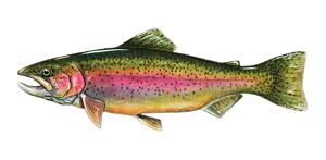
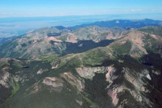
The Columbine Hondo is located at a critical juncture between existing wilderness areas (Latir Wilderness, Wheeler Peak Wilderness, Taos Pueblo tribal lands) and several well developed areas (Red River Ski Area, Taos Ski Valley, the villages of Questa, Red River, and San Cristobal, and the Chevron Mining Incorporated molybdenum operation east of Questa). Values such as clean water and critical Rio Grande Cutthroat trout habitat would be threatened if real estate or energy development were pursued, most probably as a result of road penetration. Columbine Hondo appears to be covered by second growth forest, indicating that logging could also be pursued. The existence of a molybdenum mine in the area also indicates the possible presence of valuable minerals that mining corporations may seek to exploit.
Tactics
The main goal of this project is to protect the Columbine Hondo Wilderness Study Area permanently by designating the area as a federal wilderness.
Victories
On the tails of the designation of the Rio Grande del Norte National Monument, it should be considered a victory that Columbine Hondo is now being discussed throughout its community as an ecosystem worthy of protection, both for watershed health and for economic health reasons.

Staff Contact
Toner Mitchell - New Mexico Public Lands
Author of this Page
Joshua Duplechian